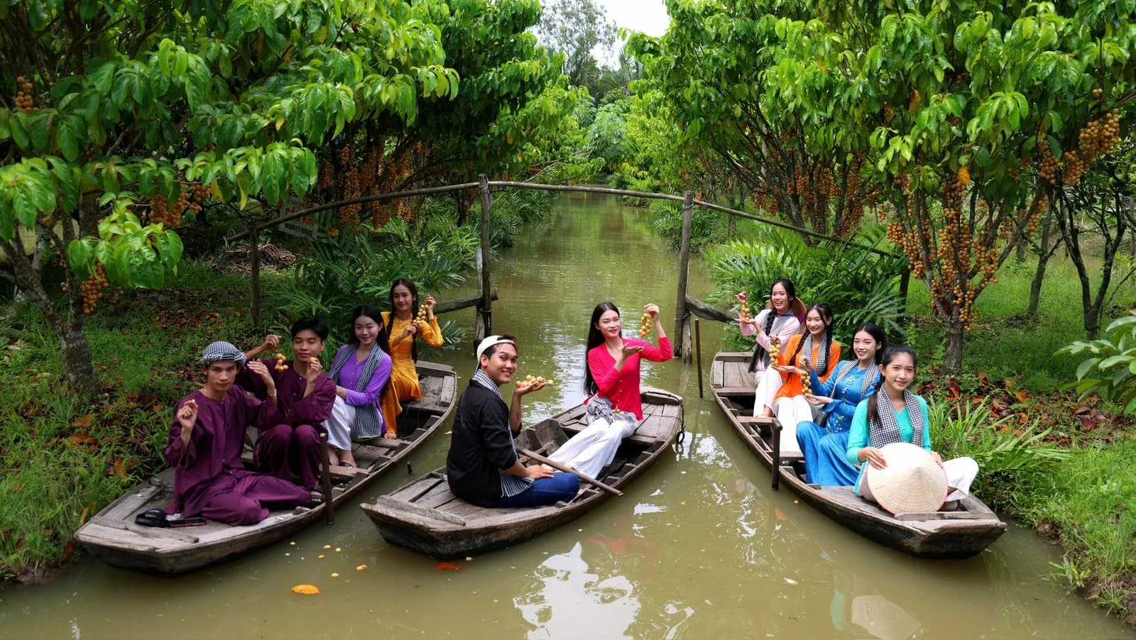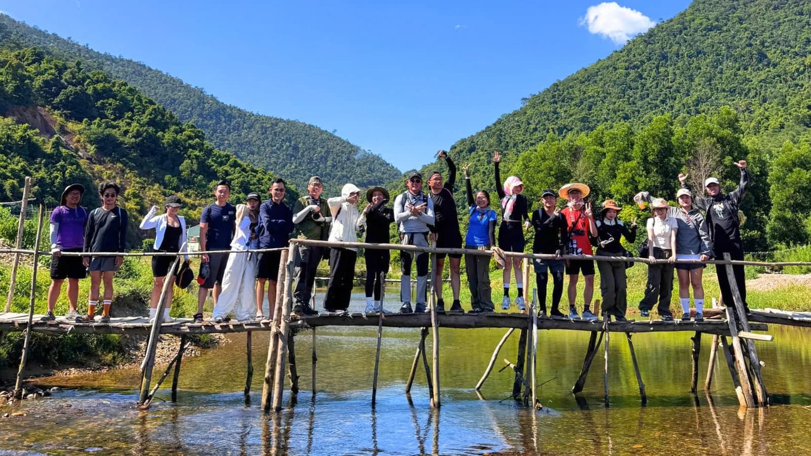


A waterfall draws you to Cao Bang. The smaller discoveries give you reasons to stay. Beyond Ban Gioc’s cascading water, roads lead through limestone valleys to paper-making villages, fossil-bearing rocks and forested mountains. A familiar-looking hillside can hold evidence of an ancient sea. A village stop can reveal the work behind an everyday object.
This Cao Bang travel guide introduces the region through Non Nuoc Cao Bang UNESCO Global Geopark, helping first-time visitors connect its headline attractions with places that reward a slower journey.
What Makes Non Nuoc Cao Bang Geopark Special?
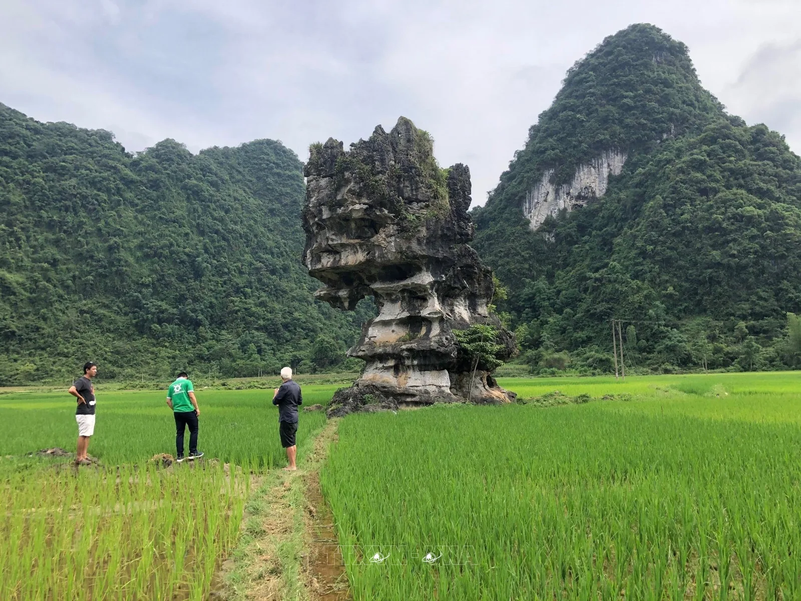
Non Nuoc Cao Bang preserves evidence of more than 500 million years of Earth history, including sedimentary rocks, marine fossils and distinctive geological formations. UNESCO lists it as a Global Geopark designated in 2018.
That history does not mean every mountain you see is 500 million years old in its present form. The landscape records different stages of deposition, geological movement and erosion.
The eastern area is particularly associated with limestone terrain: towers, valleys, caves and waterways that illustrate how water shapes soluble rock.
Think of the geopark as a landscape to understand over several stops. Its appeal grows when you connect the scenery with the processes and communities behind it.
Start with Ban Gioc Waterfall and Nguom Ngao Cave
Ban Gioc Waterfall: The Borderland Landmark
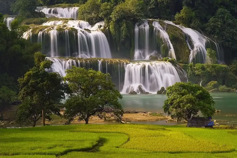
Ban Gioc sits on the Vietnam–China border, where the Quay Son River drops through a broad, layered waterfall. It is one of Southeast Asia’s notable waterfall destinations, surrounded by limestone scenery.
Give yourself time to enjoy the setting from the visitor areas. The river, fields and surrounding mountains help explain why the waterfall belongs to a much larger landscape.
If you want a boat experience, ask the on-site operator about current availability, prices and boarding arrangements. Build your plans around the conditions that day.
Nguom Ngao Cave: Look Beneath the Mountains
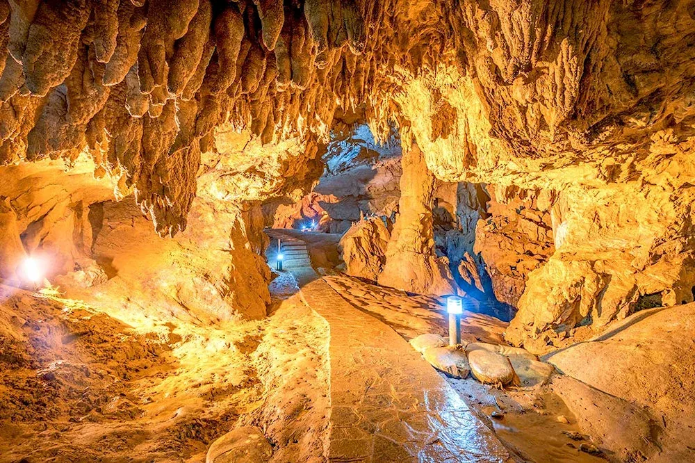
Nearby Nguom Ngao adds an underground perspective to the journey.
Vietnam’s tourism authority describes a surveyed cave system extending more than two kilometres. However, the length of the cave system should not be confused with the distance visitors walk: public access follows managed sections, and arrangements should be checked before visiting.
Inside, slow down enough to notice how the formations change between chambers. Wear footwear with grip, follow the designated route and leave the formations untouched.
Choose Your Geopark Route
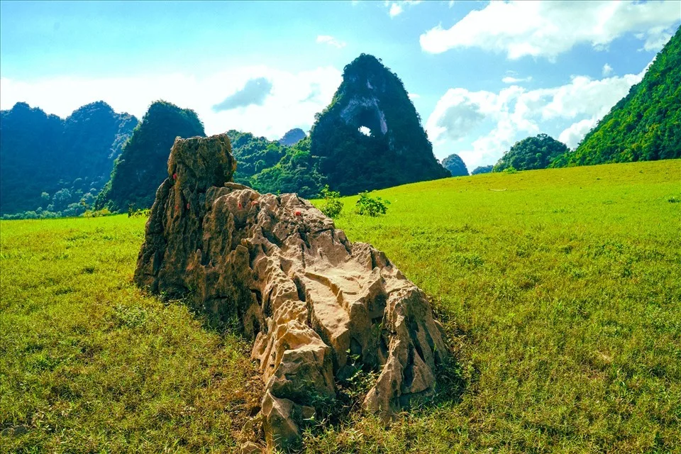
The original article’s lesser-known stops are spread across different routes. Grouping them geographically makes a more comfortable trip.
Route | Places to explore | Main interest |
Eastern route | Ban Gioc, Nguom Ngao, craft villages and the “Magic Water” site | Waterfalls, caves and local craftsmanship |
Western route | Phia Oac–Phia Den and surrounding heritage sites | Mountain forests and geological history |
Northern route | Lung Luong fossil site and other northern heritage stops | Marine fossils and regional history |
These groupings reflect the geopark’s established discovery routes. Confirm the specific stops and travel connections with your accommodation or local guide.
Eastern Route: Meet the Craft Villages
Two villages deserve distinct introductions:
Dia Tren: Known for traditional handmade paper.
Phja Thap: Known for incense making.
Recent reporting continues to identify these as separate craft traditions, with artisans also introducing their work through cultural activities in Cao Bang.
Arrange a visit when artisans are working and available to receive guests. Ask before photographing people or entering workshops, and consider buying directly from the makers.
The value of a visit comes from understanding the process, including the time and skill behind the finished product.
Western Route: Explore Phia Oac–Phia Den
The western journey centres on Phia Oac–Phia Den National Park and nearby geological, cultural and historical sites.
Vietnam’s tourism authority describes this route as an opportunity to explore mountain landscapes alongside heritage such as ancient coral fossils and Dao Tien craftsmanship.
Make this a dedicated part of your itinerary if forest walks and mountain scenery are priorities. Confirm a suitable walking route locally, and allow flexibility for weather and visibility.
Discover the “Magic Water” Site
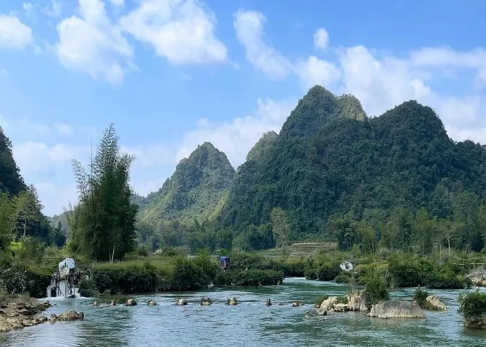
The “Magic Water” site at Lung Sang appears among the eastern route’s heritage stops. It offers another way to explore the relationship between limestone landscapes, water and local storytelling.
Approach the name as an invitation to learn about the place. Ask a local guide to explain its significance and distinguish local legends from geological explanations.
Keep the visit simple: follow access guidance, protect the water source and bring your own drinking water.
See Ancient Marine Fossils at Lung Luong
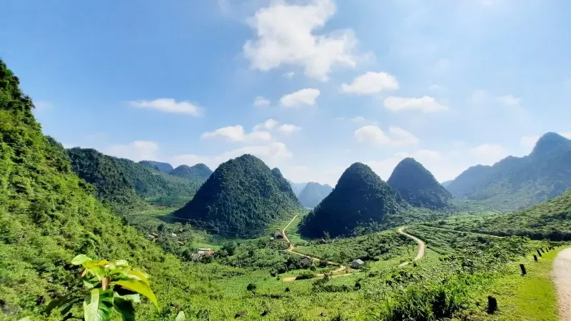
Lung Luong offers one of the article’s most compelling discoveries. The geopark’s management website identifies ammonite fossils preserved in limestone associated with a shallow sea approximately 260 million years ago, during the late Permian. These remains help explain how a present-day mountain landscape can preserve evidence of marine environments.
Visit to observe and learn. Leave fossils embedded in the rock, avoid scraping surfaces and take photographs rather than specimens.
A guide can help you recognise details that would otherwise look like ordinary patterns in stone.
How to Plan Your First Cao Bang Trip
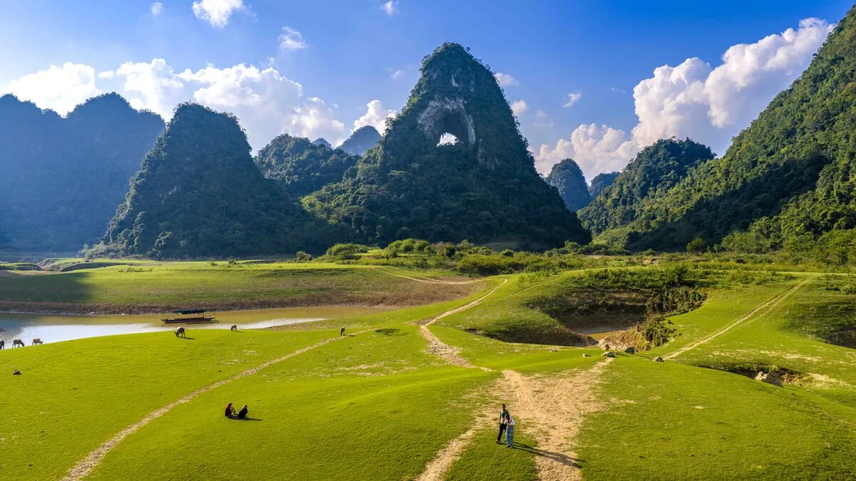
Allow Time Between Attractions
For an initial visit, consider three days in the region as a planning starting point, with travel from Hanoi accounted for separately:
Arrival and orientation: Settle in and discuss current routes with your host.
Eastern highlights: Prioritise Ban Gioc and Nguom Ngao.
A focused extension: Choose craft villages or another landscape experience.
Add more time for the western mountains or northern fossil sites. This is a suggested framework, rather than a fixed tour schedule.
For another nature stop to research, explore ExoTrails’ Thang Hen Lake Cao Bang guide.
Choose Transport That Suits the Journey
Day and overnight buses connect Hanoi with Cao Bang. Confirm the arrival point and arrange onward transport before departure.
A car with a local driver is worth considering if you want to concentrate on the landscape and make several stops. Build a realistic daily route instead of trying to cover every corner of the geopark.
Check Seasonal Conditions
Vietnam’s tourism authority generally recommends October to April for drier conditions in Cao Bang, while identifying May to September as the wetter period. Treat those patterns as planning guidance and check the forecast before travelling.
FAQs About Visiting Cao Bang
Is Cao Bang suitable for first-time visitors to Vietnam?
Yes, with advance transport planning and a manageable itinerary. You can focus on established attractions before adding more specialised geological or walking experiences.
Can I see everything in one day?
Choose a focused route for a day trip. The western mountains, northern fossil sites and eastern waterfall area deserve separate planning.
Do I need a guide?
A guide can be especially useful for interpreting fossils, arranging workshop visits and choosing walking routes that match your interests.
Follow Your Curiosity Through Cao Bang
Cao Bang rewards attention: to water moving through limestone, to a fossil preserved in rock, and to the hands keeping a craft alive.
Start with the places that inspire you, then leave room to understand what surrounds them.
Discover more outdoor destinations with ExoTrails and begin planning your own Cao Bang journey.